
About twenty million years ago, Egypt, Sinai, and the Arabian Peninsula were a united bloc until enormous devastation on land led to the separation of lands. The South Sinai Peninsula remained isolated, creating two large gulfs: the Gulf of Suez, which has a maximum depth of just 95 meters, and the Gulf of Aqaba to the east, which reaches a depth of 1800 meters.
Geography of Sinai
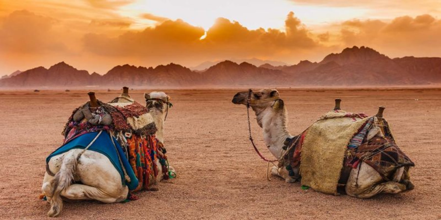
Sinai is a meeting point of continents and acts as a bridge between seas. The total surface area of Sinai is 24,000 square miles and therefore represents 6% of the total surface area of Egypt. The great seismic activity of the past and the enormous eruptive phenomena have given Sinai its characteristic mark. The mountains here are not so high but very important for history. The most important peaks are the mountain of Moses at 2285 meters, and the mountain of St. Catherine – 2642 meters, the highest in Egypt. The west coast stretching from Sharm-el-Sheikh to Ras Mohamed reaches as far as Taba. The Sinai Peninsula is wonderful with its landscapes, marked by mountains, plains, valleys, and beautiful beaches, while the sea offers coral reefs, unique types of fish, and fascinating nature.
Sinai Protectorates
Five South Sinai places have been declared a protected area; they are Abu Galum, Nabq Bay, Ras Mohamed National Park, St. Catherine, and Taba. The oldest is Ras Mohammed, declared a protectorate in 1983. And another protectorate in North Sinai called Zaranik.
Abu Galum
Abu Galum is one of the most picturesque protected areas of South Sinai in Egypt. Its spectacular granite mountains ending abruptly on a narrow coastal plain, facing a rich coral reef, make it an interesting visit. The Abu Galum reserve is home to 167 species of plants, 44 of which are only visible in this area.
The protected area of Abu Galum is 88 square kilometres on the coast, just beyond the city of Dahab; it is the smallest of South Sinai's protectorates. It has hiking trails crossing the rocky desert hills and pebble beaches, leading to rarely visited coral outcrops. Dahab, part of the protectorate, has its share of renowned dive sites such as Blue Hole and The Canyon.
Protector of Nabq
The Nabq protectorate is located at the end of Sharm El Sheikh's city along the Gulf of Aqaba and is the largest coastal park in the area. It was proclaimed protectorate in 1992. The park is 600 square meters of extraordinary natural beauty sheltered by a variety of ecosystems. The protected area is characterized by several important environmental systems such as coral reefs, marine habitats (seagrass beds) and land creatures, large mangrove forests. It includes the desert, mountains, and valleys and animals such as deer, mountain goats, hyenas, reptiles, and many migratory and resident birds alongside invertebrates. The Nabq protectorate contains 134 plant species, 6 found only in Nabq and the largest single Arak bushes in the Middle East.
Ras Mohammed National Park
Ras Mohammed National Park has located just 25 km from Sharm El Sheikh and can be easily visited by boat or land.
Saint Catherine
The protectorate of St. Catherine covers an area of 5,750 square kilometres or 20% of South Sinai. It contains the highest mountain in Egypt: St. Catherine with the height of 2,624 m, as well as Mount Sinai – considered sacred as the place where Moses received the Ten Commandments. And other mountains such as Mount Serbal, Mount Um Shomer, and Mount Tarbush.
Nature of the peninsula
43% of all plants in Egypt are found in Sinai: of these 320 species, 19 are unique to Sinai (including a native primrose), and more than 100 have medicinal use. The Sinai peninsula wildlife is really rich in variety: 46 species of reptiles, 15 of which are found nowhere else in Egypt, including two species of snake; the Sinai bandaged snake and the Innes cobra, which are found only in the National Park. There are 150 species of migratory birds, including about 40 species of birds of prey. Sinai is also home to the world’s smallest butterfly, the Sinai Baton Blue, half the size of a nail and confined for eternity on top of a mountain because it cannot live below a certain height; its tiny wings cannot carry it to the next peak.
Canyons and oases
There are 13 canyons in Egypt and all in Sinai. The most popular among tourists are the coloured canyon and white canyon.
The Al-Arda canyon, or the double canyon, is now a popular attraction. It is located 90 km from Dahab. Arda refers to a plant there, the only place in Sinai where it can be found. The plant changes colour during the summer to blue, sometimes grey, and is known among Bedouins as herbal medicine that cures asthma.
Al-Hododa is the largest and highest dune in Sinai. The name Al-Hododa comes from the word root to knockdown. The sand is very soft, and the wind is very active in this area. So the dune changes frequently from one place to another depending on the wind speed. The sand falls during this process. That’s where the name comes from. Al-Hododa is 33 km from Dahab with GPS.
There are also many oases, one like the Ain Umm Ahmed oasis never lacks water: a supply source flows from a narrow inlet between two mountains. Each family has its own pump to draw groundwater for cooking and irrigation, drinking, and bathing.