
Nepal at a Glance
Official Name: Federal Democratic Republic of Nepal.
Area: 1,47,181 sq,Km
Geoghraphy: Nepla is a landlocked country located between China in the North, and India in East, west and south. Highest Point Mt.Everest (8,848m) and lowest kechana kal (60m)above the sea level.
Capital: kathmandu is the capital city of Nepal. Kathmandu is a valley surrounded by four hills- Fulchowki, chandragiri, Shivapuri, and Nagarjuna valley. Kathmandu valley has Three major cities-Kathmandu, Lalitpur, Bhaktapur. situated at the altitude of 4,500 feet above the sea level, Kathmandu is home to seven UNESCO world heritage sites. Before the Unification of Nepal in the 18th century, these cities were independent states ruled by the Malla Kings.
Population: 26.29 million (according to the census of 2012)
Language: Nepali is the National language. However, people speak Newari, Bhojpuri, and Maithali among others as their mother tongue. People in the urban areas understanding English quite well.
Climate: Nepal has four major season , namely- Winter (December-February), Spring (March-May), Raining (June-August), Autumn (September-November). Nepal can be visited round the year.
Political System: federal Democratic Republic.
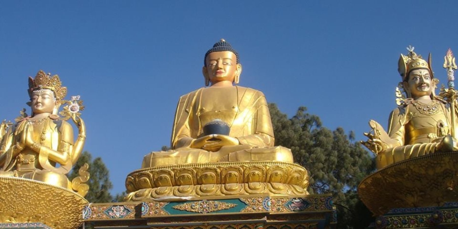
People/Religion : Nepal has more than 105 ethnic group with diverse culture, traditions and lifestyle. Nepal people can be divided into two distinct groups: Indo- Burman and Mongoloid. Nepal is a secular state with majority of people following Hindusim. However, people practicing Buddhism, Christianity and Islam among other live in a good harmony.
Administrative division: Through Nepal is federal republic , freedom state are yet to be carved . Nepal is divided into Five development regions, 14 Zones and 75 Districts.
Geographical Divison : Geographically, Nepal is devided into hills, Mountains, ad Tarai regions.